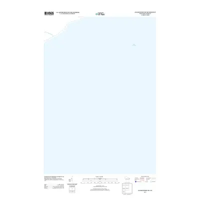
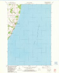
2013 Map of Jacksonport SW
USGS Topo · Published 2013About this map
Whitefish Point serves as a prominent coastal anchor on this Door County shoreline, where the land meets the expansive waters of Lake Michigan. The map illustrates the specialized geography of the Sevastopol area, focused largely on the aquatic boundary and the mouth of Shivering Sands Cr. This specific corner of the peninsula is characterized by its sparse development and the natural transition from inland waterway to the great lake. While primarily water-dominated, the sheet provides a precise record of the shoreline's contours as they existed in the early 21st century, offering a clear view of the interface between the Lake Michigan coastline and the creek's drainage point.
Find a feature on this map
3 named features on this map. Tap any name to fly to it.
Don’t see what you’re looking for? This feature index may not catch every label — zoom into the map to look around manually.
Map Details
Editions of this 2013 Jacksonport SW Map
This is the sole edition of this map. No revisions or reprints were ever made.
Other maps of this area

1954 · Manitowoc
USGS Topo · 1:250,000

1958 · Manitowoc
USGS Topo · 1:250,000

1960 · Sturgeon Bay
USGS Topo · 1:62,500

1960 · Jacksonport
USGS Topo · 1:62,500

1960 · Algoma
USGS Topo · 1:62,500

1981 · Institute
USGS Topo · 1:24,000
1981 · Sturgeon Bay East
USGS Topo · 1:24,000
1982 · Jacksonport
USGS Topo · 1:24,000
1982 · Jacksonport SW
USGS Topo · 1:24,000
1982 · Algoma NE
USGS Topo · 1:24,000