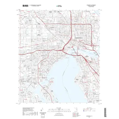
2021 Map of Jacksonville
USGS Topo · Published 2021About this map
The Saint Johns River bisects this 2021 survey of the Florida metropolitan core, where multiple bridges including the Main Street Bridge and Fuller Warren Bridge connect the downtown area to South Jacksonville and San Marco. The map captures a dense urban landscape defined by established neighborhoods like Springfield, Riverside, and Avondale. To the south and west, the influence of the Ortega River and Cedar River shapes the development of communities such as Ortega Forest and Lake Shore.
Find a feature on this map
73 named features on this map. Tap any name to fly to it.
Don’t see what you’re looking for? This feature index may not catch every label — zoom into the map to look around manually.
Map Details
Editions of this 2021 Jacksonville Map
This is the sole edition of this map. No revisions or reprints were ever made.
Other maps of this area

1917 · Orange Park
USGS Topo · 1:62,500

1917 · Cambon
USGS Topo · 1:62,500

1918 · Middleburg
USGS Topo · 1:62,500

1918 · Cambon
USGS Topo · 1:62,500

1918 · Jacksonville
USGS Topo · 1:62,500

1918 · Orange Park
USGS Topo · 1:62,500

1941 · Middleburg
USGS Topo · 1:62,500

1948 · Jacksonville
USGS Topo · 1:250,000

1948 · Eastport
USGS Topo · 1:24,000

1949 · Jacksonville Heights
USGS Topo · 1:24,000
Featured Places
- Jacksonville, FL
- Grand Crossing, Jacksonville
- Pearl Court, Jacksonville
- Edgewood, Jacksonville
- Royal Terrace, Jacksonville