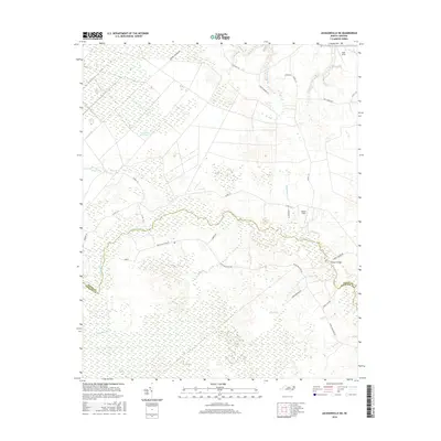
2016 Map of Jacksonville NE
USGS Topo · Published 2016About this map
The White Oak Pocosin dominates this landscape on the border of Jones and Onslow counties, illustrating the unique wetland ecology of coastal North Carolina. This map details a rural geography where the White Oak River snakes through dense marshland, fed by numerous small tributaries including Mundine Br, Beaverdam Br, and Little Hell Cr. Human presence is defined by isolated settlements and agricultural landmarks like Emmett, Olivers Crossroads, and Parker Field. The network of local routes, such as Lees Chapel Rd and White Oak River Rd, provides access to private tracts and remote aviation points like Bell Strip. The inclusion of Gibson Bridge and Stoney Cut Rd highlights the vital importance of crossings and drainage in this water-heavy terrain.
Find a feature on this map
34 named features on this map. Tap any name to fly to it.
Don’t see what you’re looking for? This feature index may not catch every label — zoom into the map to look around manually.
Map Details
Editions of this 2016 Jacksonville NE Map
This is the sole edition of this map. No revisions or reprints were ever made.
Other maps of this area

1901 · New Bern
USGS Topo · 1:62,500

1903 · New Bern
USGS Topo · 1:62,500

1903 · Trent River
USGS Topo · 1:62,500

1904 · Trent River
USGS Topo · 1:62,500

1942 · Maysville
USGS Topo · 1:62,500

1943 · Jacksonville
USGS Topo · 1:62,500

1948 · Maysville
USGS Topo · 1:62,500

1950 · Pollocksville
USGS Topo · 1:24,000

1953 · Rocky Mount
USGS Topo · 1:250,000

1953 · Beaufort
USGS Topo · 1:250,000