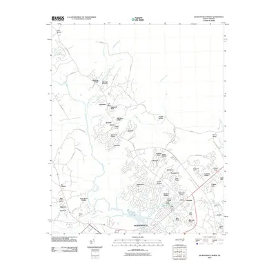
2010 Map of Jacksonville North
USGS Topo · Published 2010About this map
Bachelors Delight Swamp and the upper reaches of the New River define the natural drainage of this coastal plain landscape north of the city center. The 2010 geography reveals an intricate network of residential expansion, characterized by numerous named subdivisions like Greenbriar, Shamrock Village, and Sherwood Forest that have filled the spaces between historic watercourses. Significant infrastructure is evident at the Jacksonville Airport and Onslow Memorial Park, illustrating the region's mid-century and modern growth patterns.
Find a feature on this map
77 named features on this map. Tap any name to fly to it.
Don’t see what you’re looking for? This feature index may not catch every label — zoom into the map to look around manually.
Map Details
Editions of this 2010 Jacksonville North Map
This is the sole edition of this map. No revisions or reprints were ever made.
Other maps of this area
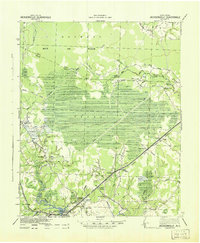
1943 · Jacksonville
USGS Topo · 1:62,500
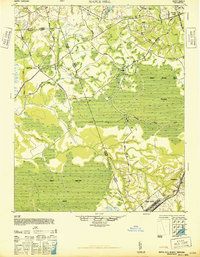
1948 · Maple Hill
USGS Topo · 1:62,500
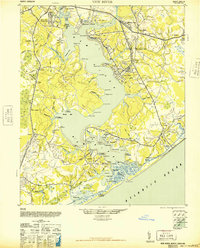
1948 · New River
USGS Topo · 1:62,500
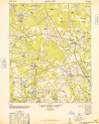
1948 · Richlands
USGS Topo · 1:62,500
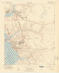
1952 · Camp Lejeune
USGS Topo · 1:24,000
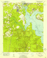
1952 · Jacksonville South
USGS Topo · 1:24,000
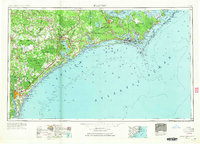
1953 · Beaufort
USGS Topo · 1:250,000
1954 · Beaufort
USGS Topo · 1:250,000
1965 · Richlands
USGS Topo · 1:62,500
1972 · Beaufort
USGS Topo · 1:250,000
Featured Places
- Jacksonville, NC
- Half Moon, NC
- Gum Branch, NC
- Hickory Hills West Trailer Park, NC
- Warrens Trailer Park, NC