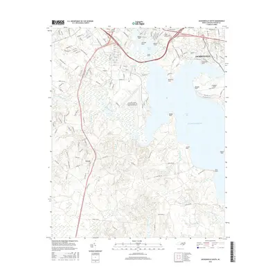
2016 Map of Jacksonville South
USGS Topo · Published 2016About this map
Jacksonville and the expansive military installation at New River Marine Corps Air Station / McCutcheon Field dominate this coastal landscape at the confluence of several significant waterways. The map illustrates the town's growth into the surrounding peninsulas and bluffs, including Wilsons Bluff and Frenchmans Point. The urban grid of the city, defined by numbered streets from 3rd St to 11th St, contrasts with the vast wetlands and meandering courses of Southwest Creek and Lewis Creek to the south.
Find a feature on this map
150 named features on this map. Tap any name to fly to it.
Don’t see what you’re looking for? This feature index may not catch every label — zoom into the map to look around manually.
Map Details
Editions of this 2016 Jacksonville South Map
This is the sole edition of this map. No revisions or reprints were ever made.
Other maps of this area

1943 · Jacksonville
USGS Topo · 1:62,500

1948 · Maple Hill
USGS Topo · 1:62,500

1948 · New River
USGS Topo · 1:62,500

1948 · Richlands
USGS Topo · 1:62,500

1952 · Camp Lejeune
USGS Topo · 1:24,000

1952 · Jacksonville South
USGS Topo · 1:24,000

1952 · New River Inlet
USGS Topo · 1:24,000

1952 · Sneads Ferry
USGS Topo · 1:24,000

1953 · Beaufort
USGS Topo · 1:250,000

1954 · Beaufort
USGS Topo · 1:250,000
Featured Places
- Jacksonville, NC
- Paradise Park, NC
- Utopia Mobile Home Park, NC
- Plum Point Estates, NC
- Springdale Acres, NC