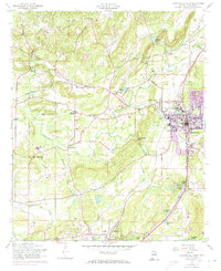
1956 Map of Jacksonville West
USGS Topo · Published 1973About this map
Jacksonville serves as the hub of this mid-century landscape, dominated by the campus of the State Teachers College and an emerging vocational education system. The town's growth is framed by a transition from older milling and agricultural patterns to a more modern infrastructure, evident in the coexistence of traditional sites like Broadwells Mill and Leydens Mill alongside the local Water Treatment Plant. The western terrain is defined by the winding paths of Tallasseehatchee Creek and Weavers Creek, which supported scattered rural communities centered around small houses of worship including Angel Grove Ch and Post Oak Springs Ch. Transportation is anchored by the Southern Railroad and the Seaboard Coast Line Railroad, which connect the industrializing areas of Weaver and Alexandria to the regional centers. The map illustrates a period when family-named landmarks like Boozers Lake and Aderholts Lake still marked the countryside before more intensive suburban expansion.
Find a feature on this map
41 named features on this map. Tap any name to fly to it.
Don’t see what you’re looking for? This feature index may not catch every label — zoom into the map to look around manually.
Map Details
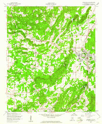
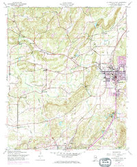
Editions of this 1956 Jacksonville West Map
3 editions found
Other maps of this area

1900 · Anniston
USGS Topo · 1:125,000

1947 · Anniston
USGS Topo · 1:24,000

1947 · Colvin Gap
USGS Topo · 1:24,000

1947 · Jacksonville
USGS Topo · 1:24,000

1947 · Glencoe
USGS Topo · 1:24,000

1947 · Wellington
USGS Topo · 1:24,000

1947 · Jacksonville
USGS Topo · 1:62,500

1947 · Eulaton
USGS Topo · 1:24,000

1950 · Anniston
USGS Topo · 1:62,500

1953 · Atlanta
USGS Topo · 1:250,000