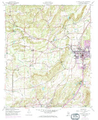
1956 Map of Jacksonville West
USGS Topo · Published 1973About this map
Jacksonville stands as the central hub of this mid-century landscape, characterized by the prominent campus of the State Teachers College and a burgeoning industrial footprint near the Vocational School. The surrounding Calhoun County countryside reveals a deep-rooted agricultural and rural economy, where Leydens Mill and Broadwells Mill mark historic points of water-powered industry along the winding Tallasseehatchee Creek. These mills, along with smaller settlements like Pleasant Valley and Alexandria, are connected by a network of railroads, including the Seaboard Coast Line and Southern Railroad, which defined the region's transport patterns before the full expansion of modern highways.
Find a feature on this map
41 named features on this map. Tap any name to fly to it.
Don’t see what you’re looking for? This feature index may not catch every label — zoom into the map to look around manually.
Map Details
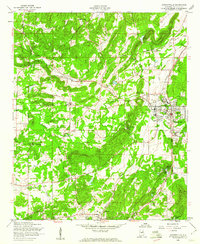
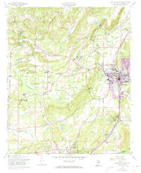
Editions of this 1956 Jacksonville West Map
3 editions found
Other maps of this area

1900 · Anniston
USGS Topo · 1:125,000

1947 · Anniston
USGS Topo · 1:24,000

1947 · Colvin Gap
USGS Topo · 1:24,000

1947 · Jacksonville
USGS Topo · 1:24,000

1947 · Glencoe
USGS Topo · 1:24,000

1947 · Wellington
USGS Topo · 1:24,000

1947 · Jacksonville
USGS Topo · 1:62,500

1947 · Eulaton
USGS Topo · 1:24,000

1950 · Anniston
USGS Topo · 1:62,500

1953 · Atlanta
USGS Topo · 1:250,000