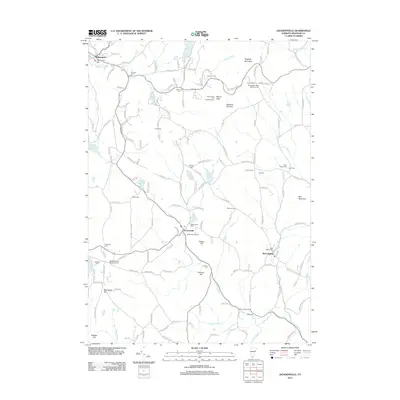
2012 Map of Jacksonville
USGS Topo · Published 2012About this map
Wilmington and Jacksonville anchor this southern Vermont landscape, characterized by the winding path of the E Br N River and numerous high-elevation water bodies like Lake Raponda and Spruce Lake. The map reveals a high density of small family and community burial grounds, such as the Lamb Cem, Averell Cem, and Taylor Stacy Cem, which provide significant genealogical data points across the townships. Near Hogback Mountain, the Mount Olga Fire Lookout Tower and Hogback Ski Area highlight the region's mid-century recreational and conservation history. Significant water management is evident in the presence of the Harriman Reservoir and Jacksonville Pond, while the North River Winery represents the area's local industry. This survey documents the transition between the developed village centers and the more isolated upland hills, marked by features like Stickney Hill and Blue Mountain.
Find a feature on this map
154 named features on this map. Tap any name to fly to it.
Don’t see what you’re looking for? This feature index may not catch every label — zoom into the map to look around manually.
Map Details
Editions of this 2012 Jacksonville Map
This is the sole edition of this map. No revisions or reprints were ever made.
Other maps of this area

1886 · Hawley
USGS Topo · 1:62,500

1889 · Wilmington
USGS Topo · 1:62,500

1890 · Hawley
USGS Topo · 1:62,500

1890 · Greenfield
USGS Topo · 1:62,500

1891 · Wilmington
USGS Topo · 1:62,500

1891 · Brattleboro
USGS Topo · 1:62,500

1893 · Brattleboro
USGS Topo · 1:62,500

1894 · Greenfield
USGS Topo · 1:62,500

1894 · Hawley
USGS Topo · 1:62,500

1899 · Wilmington
USGS Topo · 1:62,500