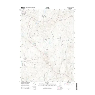
2015 Map of Jacksonville
USGS Topo · Published 2015About this map
Wilmington and Jacksonville anchor this southern Vermont landscape, where the Deerfield Valley's highlands meet the drainage of the East Br North River. The area is characterized by a dense concentration of family and community burial grounds, including the Brigham Young Memorial Cem near Sadawga Lake and the Old Hogback-West Marlboro Cem located near Hogback Mtn. These sites provide significant data for genealogical research in Windham County. The terrain is defined by prominent peaks like Mt Olga and Blue Mtn, while the water system is dominated by Harriman Reservoir and several natural ponds such as Ryder Pond and Gates Pond. The road network, including the winding Old Hogback Rd and Hatch School Rd, connects the scattered settlements of West Halifax through the complex system of brooks and hills that define this region.
Find a feature on this map
129 named features on this map. Tap any name to fly to it.
Don’t see what you’re looking for? This feature index may not catch every label — zoom into the map to look around manually.
Map Details
Editions of this 2015 Jacksonville Map
This is the sole edition of this map. No revisions or reprints were ever made.
Other maps of this area

1886 · Hawley
USGS Topo · 1:62,500

1889 · Wilmington
USGS Topo · 1:62,500

1890 · Hawley
USGS Topo · 1:62,500

1890 · Greenfield
USGS Topo · 1:62,500

1891 · Wilmington
USGS Topo · 1:62,500

1891 · Brattleboro
USGS Topo · 1:62,500

1893 · Brattleboro
USGS Topo · 1:62,500

1894 · Greenfield
USGS Topo · 1:62,500

1894 · Hawley
USGS Topo · 1:62,500

1899 · Wilmington
USGS Topo · 1:62,500