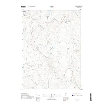
2018 Map of Jacksonville
USGS Topo · Published 2018About this map
Jacksonville and West Halifax anchor this mountainous section of Windham County, where the landscape is defined by the headwaters of the East Branch North River and the North Branch Deerfield River. The terrain is characterized by prominent peaks like Hogback Mtn and Mt Olga, which separate the river valleys from high-altitude water bodies such as Spruce Lake and Ryder Pond.
Find a feature on this map
127 named features on this map. Tap any name to fly to it.
Don’t see what you’re looking for? This feature index may not catch every label — zoom into the map to look around manually.
Map Details
Editions of this 2018 Jacksonville Map
This is the sole edition of this map. No revisions or reprints were ever made.
Other maps of this area

1886 · Hawley
USGS Topo · 1:62,500

1889 · Wilmington
USGS Topo · 1:62,500

1890 · Hawley
USGS Topo · 1:62,500

1890 · Greenfield
USGS Topo · 1:62,500

1891 · Wilmington
USGS Topo · 1:62,500

1891 · Brattleboro
USGS Topo · 1:62,500

1893 · Brattleboro
USGS Topo · 1:62,500

1894 · Greenfield
USGS Topo · 1:62,500

1894 · Hawley
USGS Topo · 1:62,500

1899 · Wilmington
USGS Topo · 1:62,500