
1953 Map of Jacobs Lake
USGS Topo · Published 1955About this map
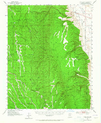
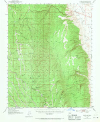
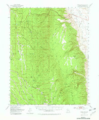
The high plateau of the Kaibab National Forest dominates this landscape, where the geography of the northern Arizona wilderness was meticulously revised during the early 1950s. The region is defined by the high elevations of the Kaibab Plateau, sloping sharply toward the House Rock Valley to the east. Water management in this semi-arid environment is evidenced by numerous small catchments and landmarks such as Three Lakes Corral, Joes Mud Hole, and Kane Spring.
Find a feature on this map
59 named features on this map. Tap any name to fly to it.
Don’t see what you’re looking for? This feature index may not catch every label — zoom into the map to look around manually.
Map Details
Editions of this 1953 Jacobs Lake Map
4 editions found
Other maps of this area

1886 · Echo Cliffs
USGS Topo · 1:250,000

1886 · Kaibab
USGS Topo · 1:250,000

1891 · Echo Cliffs
USGS Topo · 1:250,000

1936 · Jacobs Lake
USGS Topo · 1:48,000

1940 · Jacob Lake
USGS Topo · 1:62,500

1953 · Grand Canyon
USGS Topo · 1:250,000

1954 · Emmett Wash NW
USGS Topo · 1:24,000

1954 · Paria Plateau SW
USGS Topo · 1:24,000

1954 · Nankoweap
USGS Topo · 1:62,500

1954 · Emmett Wash
USGS Topo · 1:62,500