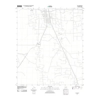
2010 Map of Jal
USGS Topo · Published 2010About this map
The high desert landscape of southeastern New Mexico is anchored by the community of Jal, a town defined by its grid of residential and industrial streets in the corner of Lea County. To the south, the smaller settlement of Bennett sits along a primary north-south corridor, reflecting the region's sparse but organized distribution of infrastructure. The terrain is characterized by the broad expanse of Toboso Flats, where a network of county roads like County Rd 24 and County Rd 4 crisscross the arid plains. Local industrial activity is evidenced by the Lea County Road Department Pit located just outside the main settlement. This layout illustrates a community built around resource extraction and logistical hubs, where major thoroughfares such as Main Line Red St and E Wyoming Ave facilitate movement through this remote corner of the Permian Basin.
Find a feature on this map
11 named features on this map. Tap any name to fly to it.
Don’t see what you’re looking for? This feature index may not catch every label — zoom into the map to look around manually.
Map Details
Editions of this 2010 Jal Map
This is the sole edition of this map. No revisions or reprints were ever made.
Other maps of this area

1954 · Hobbs
USGS Topo · 1:250,000

1954 · Pecos
USGS Topo · 1:250,000

1957 · Pecos
USGS Topo · 1:250,000

1958 · Hobbs
USGS Topo · 1:250,000

1969 · Jal NE
USGS Topo · 1:24,000

1969 · Jal NW
USGS Topo · 1:24,000

1969 · Jal
USGS Topo · 1:24,000

1969 · Jal SE
USGS Topo · 1:24,000

1970 · Cheyenne Draw
USGS Topo · 1:24,000

1970 · Vesrue
USGS Topo · 1:24,000