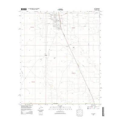
2013 Map of Jal
USGS Topo · Published 2013About this map
Jal anchors this corner of the Permian Basin in southeastern Lea Co, where the grid of city streets transitions into an expansive industrial and desert landscape. The town's layout is defined by thoroughfares like State Highway 18 and a network of residential avenues such as W Wyoming Ave and E Kansas Ave. South of the main settlement lies the community of Bennett, positioned near the extensive Monument Jal Oil Field. This area reflects the deep-rooted energy economy of New Mexico, with infrastructure like Tank Farm Ln supporting local production. The terrain is characterized by the wide reaches of Toboso Flats, which stretch eastward toward the state line. Roads like NM-128 and Frying Pan Rd provide vital links across this arid high-plains environment, connecting isolated industrial sites to the regional transport hub.
Find a feature on this map
49 named features on this map. Tap any name to fly to it.
Don’t see what you’re looking for? This feature index may not catch every label — zoom into the map to look around manually.
Map Details
Editions of this 2013 Jal Map
This is the sole edition of this map. No revisions or reprints were ever made.
Other maps of this area

1954 · Hobbs
USGS Topo · 1:250,000

1954 · Pecos
USGS Topo · 1:250,000

1957 · Pecos
USGS Topo · 1:250,000

1958 · Hobbs
USGS Topo · 1:250,000

1969 · Jal NE
USGS Topo · 1:24,000

1969 · Jal NW
USGS Topo · 1:24,000

1969 · Jal
USGS Topo · 1:24,000

1969 · Jal SE
USGS Topo · 1:24,000

1970 · Cheyenne Draw
USGS Topo · 1:24,000

1970 · Vesrue
USGS Topo · 1:24,000