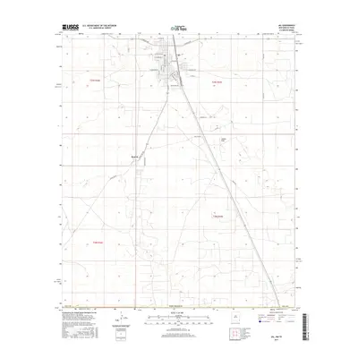
2017 Map of Jal
USGS Topo · Published 2017About this map
Jal anchors the northern edge of this high-plains landscape in Lea County, where the grid of city streets gives way to the industrial and agricultural infrastructure of southeastern New Mexico. The town layout is defined by thoroughfares like S Main St and Commerce St, transitioning into a network of utility roads and local lanes that serve the surrounding oil and gas country. To the south, the settlement of Bennett sits along Bennettville Rd, marking a secondary node of activity amidst the expansive terrain.
Find a feature on this map
39 named features on this map. Tap any name to fly to it.
Don’t see what you’re looking for? This feature index may not catch every label — zoom into the map to look around manually.
Map Details
Editions of this 2017 Jal Map
This is the sole edition of this map. No revisions or reprints were ever made.
Other maps of this area

1954 · Hobbs
USGS Topo · 1:250,000

1954 · Pecos
USGS Topo · 1:250,000

1957 · Pecos
USGS Topo · 1:250,000

1958 · Hobbs
USGS Topo · 1:250,000

1969 · Jal NE
USGS Topo · 1:24,000

1969 · Jal NW
USGS Topo · 1:24,000

1969 · Jal
USGS Topo · 1:24,000

1969 · Jal SE
USGS Topo · 1:24,000

1970 · Cheyenne Draw
USGS Topo · 1:24,000

1970 · Vesrue
USGS Topo · 1:24,000