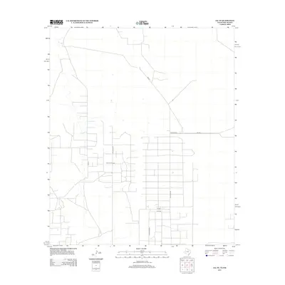
2012 Map of Jal NE
USGS Topo · Published 2012About this map
The Dollarhide Oil Field dominates this corner of the Permian Basin, where the landscape is defined by the industrial grid of energy extraction. Located in Lea County, the terrain is mapped through a dense network of utility and access routes including Dollarhide Rd, W Dollarhide Rd, and Plant Rd. These corridors facilitate the movement of equipment and personnel across a semi-arid landscape marked by ephemeral water features and a systematic block-and-section surveying layout. The presence of Block Road 12 and SW 2000 illustrates the strictly functional nature of the local road system, which supports the intensive resource development characteristic of this region of New Mexico. Small structures and pads scattered near Co Rd-14 highlight the distributed infrastructure required to maintain operations in this active oil production zone.
Find a feature on this map
9 named features on this map. Tap any name to fly to it.
Don’t see what you’re looking for? This feature index may not catch every label — zoom into the map to look around manually.
Map Details
Editions of this 2012 Jal NE Map
This is the sole edition of this map. No revisions or reprints were ever made.
Other maps of this area

1954 · Hobbs
USGS Topo · 1:250,000

1958 · Hobbs
USGS Topo · 1:250,000

1969 · Jal NE
USGS Topo · 1:24,000

1969 · Eunice SE
USGS Topo · 1:24,000

1969 · Jal NW
USGS Topo · 1:24,000

1969 · Jal
USGS Topo · 1:24,000

1969 · Rattlesnake Canyon
USGS Topo · 1:24,000

1969 · Jal SE
USGS Topo · 1:24,000

1971 · Figure Seven Ranch
USGS Topo · 1:24,000

1971 · Frankel City SW
USGS Topo · 1:24,000