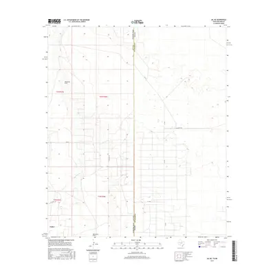
2016 Map of Jal NE
USGS Topo · Published 2016About this map
The high plains of the Permian Basin define this 2016 survey along the state line where Andrews County and Lea County meet. The settlement of Nadine sits in the southwest corner, positioned amidst a grid of section lines and ranch roads that characterize the local land management. The most prominent natural feature is Monument Draw, which meanders across the northern and southern portions of the quadrangle, representing the drainage patterns typical of this arid region.
Find a feature on this map
15 named features on this map. Tap any name to fly to it.
Don’t see what you’re looking for? This feature index may not catch every label — zoom into the map to look around manually.
Map Details
Editions of this 2016 Jal NE Map
This is the sole edition of this map. No revisions or reprints were ever made.
Other maps of this area

1954 · Hobbs
USGS Topo · 1:250,000

1958 · Hobbs
USGS Topo · 1:250,000

1969 · Jal NE
USGS Topo · 1:24,000

1969 · Eunice SE
USGS Topo · 1:24,000

1969 · Jal NW
USGS Topo · 1:24,000

1969 · Jal
USGS Topo · 1:24,000

1969 · Rattlesnake Canyon
USGS Topo · 1:24,000

1969 · Jal SE
USGS Topo · 1:24,000

1971 · Figure Seven Ranch
USGS Topo · 1:24,000

1971 · Frankel City SW
USGS Topo · 1:24,000