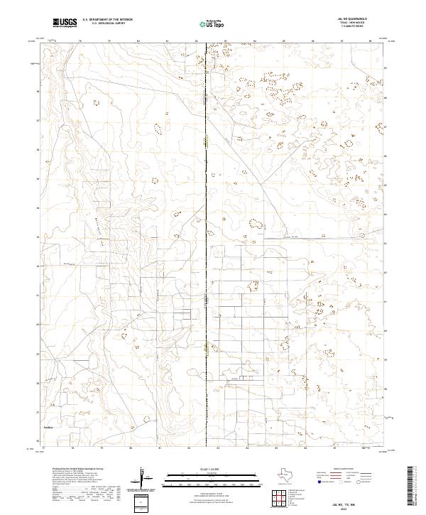
2022 Map of Jal NE
USGS Topo · Published 2022About this map
Monument Draw cuts through this arid borderland between Texas and New Mexico, serving as the primary natural landmark in a landscape defined by industrial and agricultural survey grids. The map centers on the boundary where Lea County meets Andrews County, a region heavily marked by the section lines and rural access roads of the Permian Basin. Local infrastructure is concentrated along Dollarhide Rd and Saga Ln, reflecting the systematic development of the plains for resource extraction and ranching. The small settlement of Nadine appears in the southwestern corner, anchored by a network of local routes such as N Blocker Ln and Cq Rd 14. This survey documents the intersection of state lines and township grids, illustrating how human engineering has superimposed a rigid geometry over the gentle contours of the West Texas and Eastern New Mexico terrain.
Find a feature on this map
18 named features on this map. Tap any name to fly to it.
Don’t see what you’re looking for? This feature index may not catch every label — zoom into the map to look around manually.
Map Details
Editions of this 2022 Jal NE Map
This is the sole edition of this map. No revisions or reprints were ever made.
Other maps of this area

1954 · Hobbs
USGS Topo · 1:250,000

1958 · Hobbs
USGS Topo · 1:250,000

1969 · Jal NE
USGS Topo · 1:24,000

1969 · Eunice SE
USGS Topo · 1:24,000

1969 · Jal NW
USGS Topo · 1:24,000

1969 · Jal
USGS Topo · 1:24,000

1969 · Rattlesnake Canyon
USGS Topo · 1:24,000

1969 · Jal SE
USGS Topo · 1:24,000

1971 · Figure Seven Ranch
USGS Topo · 1:24,000

1971 · Frankel City SW
USGS Topo · 1:24,000