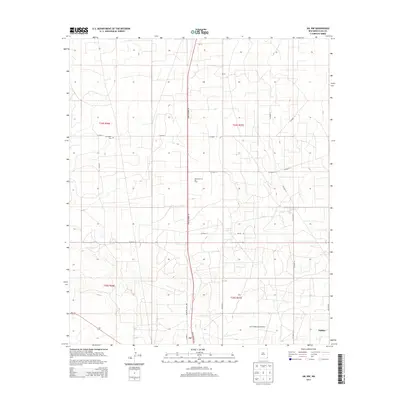
2013 Map of Jal NW
USGS Topo · Published 2013About this map
Monument Jal Oil Field dominates the central landscape of this Lea County region, illustrating the heavy industrial footprint of the Permian Basin in the early 21st century. The map centers on the northwestern outskirts of Jal, where a geometric grid of county roads and oil-related infrastructure intersects the arid high plains. Significant transportation corridors include State Highway 18 and NM-128, which serve as the primary arteries for this energy-rich corner of New Mexico. Local history and genealogy interests are anchored by the Jal Cooper Cem, while the Lea County (Jal) Airport and the settlement of Nadine mark the southern and eastern edges of the quadrangle. The terrain is characterized by a high density of local connectors like Co Road 7 and Country Club Rd, reflecting the complex network required to service the surrounding petroleum operations.
Find a feature on this map
25 named features on this map. Tap any name to fly to it.
Don’t see what you’re looking for? This feature index may not catch every label — zoom into the map to look around manually.
Map Details
Editions of this 2013 Jal NW Map
This is the sole edition of this map. No revisions or reprints were ever made.
Other maps of this area

1954 · Hobbs
USGS Topo · 1:250,000

1958 · Hobbs
USGS Topo · 1:250,000

1963 · Oil Center
USGS Topo · 1:62,500

1969 · Jal NE
USGS Topo · 1:24,000

1969 · Eunice SE
USGS Topo · 1:24,000

1969 · Jal NW
USGS Topo · 1:24,000

1969 · Jal
USGS Topo · 1:24,000

1969 · Rattlesnake Canyon
USGS Topo · 1:24,000

1969 · Jal SE
USGS Topo · 1:24,000

1973 · Javelina Basin
USGS Topo · 1:24,000