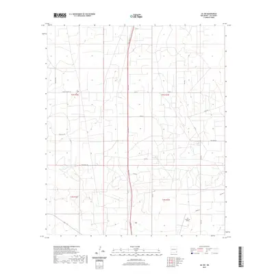
2020 Map of Jal NW
USGS Topo · Published 2020About this map
Jal anchors the southern portion of this Lea County landscape, characterized by a structured grid of county roads and industrial access routes. The settlement's infrastructure is defined by a north-south transit spine along N Dal Paso St, which connects the community to outlying ranching or resource areas. Significant local landmarks include the Lea County/Jal Airport and the Jal Cooper Cem, situated north of town along Cooper Cemetery Rd. This particular survey illustrates the modern development of the Permian Basin region, where named thoroughfares like Phillips Hill Rd, Dollarhide Rd, and Deep Wells Rd reflect the historical importance of water and ranching family legacies in an arid environment.
Find a feature on this map
25 named features on this map. Tap any name to fly to it.
Don’t see what you’re looking for? This feature index may not catch every label — zoom into the map to look around manually.
Map Details
Editions of this 2020 Jal NW Map
This is the sole edition of this map. No revisions or reprints were ever made.
Other maps of this area

1954 · Hobbs
USGS Topo · 1:250,000

1958 · Hobbs
USGS Topo · 1:250,000

1963 · Oil Center
USGS Topo · 1:62,500

1969 · Jal NE
USGS Topo · 1:24,000

1969 · Eunice SE
USGS Topo · 1:24,000

1969 · Jal NW
USGS Topo · 1:24,000

1969 · Jal
USGS Topo · 1:24,000

1969 · Rattlesnake Canyon
USGS Topo · 1:24,000

1969 · Jal SE
USGS Topo · 1:24,000

1973 · Javelina Basin
USGS Topo · 1:24,000