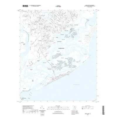
2020 Map of James Island
USGS Topo · Published 2020About this map
Secessionville and the surrounding marshlands south of Charleston define the intricate geography of this coastal region. The landscape is a network of tidal passages and islands, where James Island Creek and the Stono River wind through residential developments and preserved wetlands. On James Island, established neighborhoods like Centerville and Three Trees sit alongside newer infrastructure, while the Holy Cross Cem serves as a point of local genealogical interest.
Find a feature on this map
93 named features on this map. Tap any name to fly to it.
Don’t see what you’re looking for? This feature index may not catch every label — zoom into the map to look around manually.
Map Details
Editions of this 2020 James Island Map
This is the sole edition of this map. No revisions or reprints were ever made.
Other maps of this area

1918 · Kiawah Island
USGS Topo · 1:21,120

1919 · Johns Island
USGS Topo · 1:21,120

1919 · The Jetties
USGS Topo · 1:21,120

1919 · Wadmelaw Island
USGS Topo · 1:62,500

1919 · Charleston
USGS Topo · 1:21,120

1919 · James Island
USGS Topo · 1:21,120

1919 · Fort Moultrie
USGS Topo · 1:21,120

1919 · Legareville
USGS Topo · 1:21,120

1920 · Ravenels
USGS Topo · 1:62,500

1943 · Fort Moultrie
USGS Topo · 1:24,000