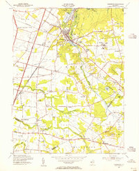
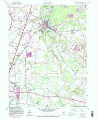
1953 Map of Jamesburg
USGS Topo · Published 1955About this map
Manalapan Brook and its valley anchor this mid-century survey of the central New Jersey interior, where the Pennsylvania railroad corridors and the newly established New Jersey Turnpike intersect an older agricultural landscape. The borough of Jamesburg serves as a local hub, with Lake Manalapan at its center and the expansive grounds of the State Home for Boys to the east. The map captures a transition from small, scattered hamlets like Prospect Plains, Half Acre, and Applegarth to the modern high-speed transportation infrastructure that would soon reshape the region.
Find a feature on this map
53 named features on this map. Tap any name to fly to it.
Don’t see what you’re looking for? This feature index may not catch every label — zoom into the map to look around manually.
Map Details
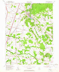
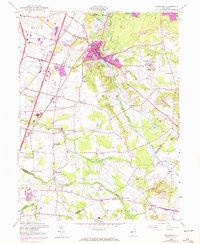
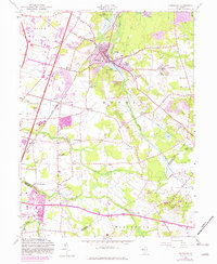
Editions of this 1953 Jamesburg Map
5 editions found
Other maps of this area

1888 · Bordentown
USGS Topo · 1:62,500

1888 · New Brunswick
USGS Topo · 1:62,500

1888 · Princeton
USGS Topo · 1:62,500

1888 · Cassville
USGS Topo · 1:62,500

1893 · Bordentown
USGS Topo · 1:62,500

1893 · New Brunswick
USGS Topo · 1:62,500

1894 · Princeton
USGS Topo · 1:62,500

1894 · Cassville
USGS Topo · 1:62,500

1900 · Cassville
USGS Topo · 1:62,500

1901 · New Brunswick
USGS Topo · 1:62,500
Featured Places
- Old Bridge Township, NJ
- Monroe Township, NJ
- East Brunswick Township, NJ
- South Brunswick, NJ
- Manalapan Township, NJ