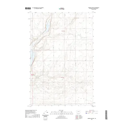
2020 Map of Jameson Lake East
USGS Topo · Published 2020About this map
Grimes Lake and its surrounding basaltic landscape define this portion of Douglas County, where the high desert terrain of Central Washington meets a series of significant coulee water bodies. The geography is characterized by dramatic elevation changes near Chester Butte and the narrow, steep-sided valleys that contain Twin Lake and Fisher Lakes. This area represents a classic example of the Channeled Scablands, where the scars of ancient glacial floods are still visible in the contour of the land. Access to the water is concentrated along the western edge via Jameson Lake Rd and the E Jameson Lake Access Rd, serving Jameson Lake. The remainder of the quadrangle is largely defined by a grid of rural routes such as Wittig Rd Ne and Rd I Ne, which navigate the plateaus and occasional drainages like McCartney Cr.
Find a feature on this map
24 named features on this map. Tap any name to fly to it.
Don’t see what you’re looking for? This feature index may not catch every label — zoom into the map to look around manually.
Map Details
Editions of this 2020 Jameson Lake East Map
This is the sole edition of this map. No revisions or reprints were ever made.
Other maps of this area

1953 · Ritzville
USGS Topo · 1:250,000

1959 · Ritzville
USGS Topo · 1:250,000

1965 · Ritzville
USGS Topo · 1:250,000

1965 · Jameson Lake SW
USGS Topo · 1:24,000

1965 · Jameson Lake SE
USGS Topo · 1:24,000

1965 · St. Andrews
USGS Topo · 1:24,000

1965 · Jameson Lake West
USGS Topo · 1:24,000

1965 · Jameson Lake East
USGS Topo · 1:24,000
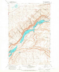
1965 · Park Lake
USGS Topo · 1:24,000
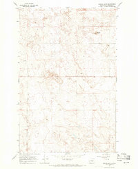
1968 · Barnes Butte
USGS Topo · 1:24,000