
1965 Map of Jameson Lake SW
USGS Topo · Published 1966About this map
St Hubert Church stands as a lonely landmark on the high plateau overlooking the dramatic incision of Moses Coulee in this mid-1960s survey of Douglas County. The landscape is defined by its deep canyons and the winding path of McCartney Creek, which cuts through the volcanic geology of the region. Water sources were vital for local agriculture and livestock, evidenced by named features such as Sulphur Spring, Coyote Spring, and Camel Spr. This area shows a sparse settlement pattern connected by a network of jeep trails, with topographical features like Armour Draw and Sulphur Canyon dictating the movement of people and resources. A Gravel Pit near the coulee wall suggests small-scale industrial activity to support local road maintenance during this period.
Find a feature on this map
13 named features on this map. Tap any name to fly to it.
Don’t see what you’re looking for? This feature index may not catch every label — zoom into the map to look around manually.
Map Details
Editions of this 1965 Jameson Lake SW Map
This is the sole edition of this map. No revisions or reprints were ever made.
Other maps of this area

1953 · Ritzville
USGS Topo · 1:250,000

1956 · Ephrata
USGS Topo · 1:62,500

1959 · Ritzville
USGS Topo · 1:250,000

1965 · Ritzville
USGS Topo · 1:250,000

1965 · Jameson Lake SE
USGS Topo · 1:24,000

1965 · Jameson Lake West
USGS Topo · 1:24,000

1965 · Jameson Lake East
USGS Topo · 1:24,000
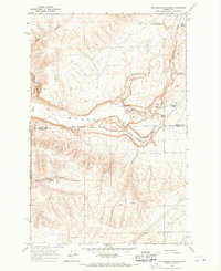
1966 · Rattlesnake Springs
USGS Topo · 1:24,000

1968 · Withrow
USGS Topo · 1:24,000
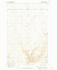
1968 · Farmer
USGS Topo · 1:24,000