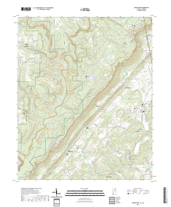
2024 Map of Jamestown
USGS Topo · Published 2024About this map
Shinbone Ridge and the Broomtown Valley dominate this landscape on the Alabama-Georgia border, where the steep topography of the Cumberland Plateau meets the valley floor. The western edge of the map is defined by the Little River Canyon National Preserve, a protected corridor where the Little River and its forks have carved deep into the terrain. This area is characterized by a dense network of backcountry routes such as the Desoto Scout Trl and Burnt House Ford Trl, reflecting a long history of navigation through difficult mountain passes.
Find a feature on this map
113 named features on this map. Tap any name to fly to it.
Don’t see what you’re looking for? This feature index may not catch every label — zoom into the map to look around manually.
Map Details
Editions of this 2024 Jamestown Map
This is the sole edition of this map. No revisions or reprints were ever made.
Other maps of this area

1886 · Ringgold
USGS Topo · 1:125,000

1886 · Rome
USGS Topo · 1:125,000

1886 · Stevenson
USGS Topo · 1:125,000

1892 · Ringgold
USGS Topo · 1:125,000

1892 · Stevenson
USGS Topo · 1:125,000

1893 · Fort Payne
USGS Topo · 1:125,000

1895 · Stevenson
USGS Topo · 1:125,000

1898 · Rome
USGS Topo · 1:125,000

1898 · Fort Payne
USGS Topo · 1:125,000

1899 · Rome
USGS Topo · 1:125,000