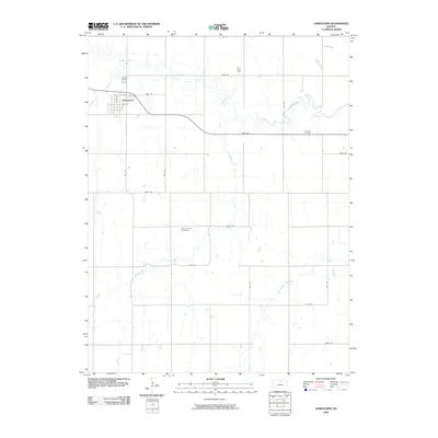
2009 Map of Jamestown
USGS Topo · Published 2009About this map
Jamestown serves as the primary settlement on this northern Kansas landscape, situated near the confluence of Cheyenne Creek and the meandering Buffalo Creek. The town's grid is established between 1st St and 4th St, reflecting a traditional rural community layout centered on local agriculture. The surrounding countryside is defined by a rigorous sectional road system with descriptive names like Trail Rd, Shell Rd, and Oat Rd, which facilitate movement across the prairie terrain.
Find a feature on this map
25 named features on this map. Tap any name to fly to it.
Don’t see what you’re looking for? This feature index may not catch every label — zoom into the map to look around manually.
Map Details
Editions of this 2009 Jamestown Map
This is the sole edition of this map. No revisions or reprints were ever made.
Other maps of this area
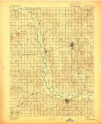
1892 · Concordia
USGS Topo · 1:125,000
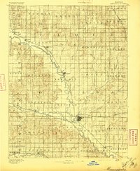
1892 · Minneapolis
USGS Topo · 1:125,000
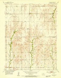
1953 · Glasco NE
USGS Topo · 1:24,000
1953 · Simpson
USGS Topo · 1:24,000

1955 · Manhattan
USGS Topo · 1:250,000
1956 · Manhattan
USGS Topo · 1:250,000
1957 · Manhattan
USGS Topo · 1:250,000
1965 · Aurora NW
USGS Topo · 1:24,000
1965 · Concordia NW
USGS Topo · 1:24,000
1965 · Concordia
USGS Topo · 1:24,000