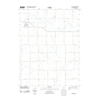
2012 Map of Jamestown
USGS Topo · Published 2012About this map
Jamestown serves as the primary hub of this north-central Kansas landscape, organized around a traditional grid featuring streets named for trees such as Chestnut St, Walnut St, and Spruce St. The community is anchored by its local Po and sits at the junction of Co Hwy-765 and Teal Rd. To the east lies the smaller settlement of Yuma, marking the edge of a region defined by agricultural sections and winding watercourses.
Find a feature on this map
41 named features on this map. Tap any name to fly to it.
Don’t see what you’re looking for? This feature index may not catch every label — zoom into the map to look around manually.
Map Details
Editions of this 2012 Jamestown Map
This is the sole edition of this map. No revisions or reprints were ever made.
Other maps of this area

1892 · Concordia
USGS Topo · 1:125,000

1892 · Minneapolis
USGS Topo · 1:125,000

1953 · Glasco NE
USGS Topo · 1:24,000

1953 · Simpson
USGS Topo · 1:24,000

1955 · Manhattan
USGS Topo · 1:250,000

1956 · Manhattan
USGS Topo · 1:250,000

1957 · Manhattan
USGS Topo · 1:250,000
1965 · Aurora NW
USGS Topo · 1:24,000

1965 · Concordia NW
USGS Topo · 1:24,000
1965 · Concordia
USGS Topo · 1:24,000