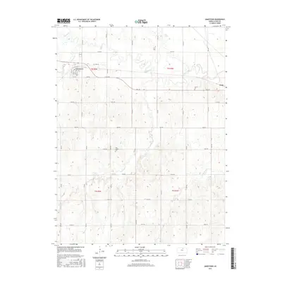
2016 Map of Jamestown
USGS Topo · Published 2016About this map
Jamestown serves as the primary hub of this north-central Kansas landscape, with its residential grid structured around streets like Walnut St and Spruce St. The surrounding terrain in Cloud County is defined by a dense network of watercourses and agricultural drainage, most notably the meandering path of Buffalo Creek and the significant Salt Marsh to the northeast. To the east, the smaller settlement of Yuma sits along Shell Rd.
Find a feature on this map
47 named features on this map. Tap any name to fly to it.
Don’t see what you’re looking for? This feature index may not catch every label — zoom into the map to look around manually.
Map Details
Editions of this 2016 Jamestown Map
This is the sole edition of this map. No revisions or reprints were ever made.
Other maps of this area

1892 · Concordia
USGS Topo · 1:125,000

1892 · Minneapolis
USGS Topo · 1:125,000

1953 · Glasco NE
USGS Topo · 1:24,000

1953 · Simpson
USGS Topo · 1:24,000

1955 · Manhattan
USGS Topo · 1:250,000

1956 · Manhattan
USGS Topo · 1:250,000

1957 · Manhattan
USGS Topo · 1:250,000
1965 · Aurora NW
USGS Topo · 1:24,000

1965 · Concordia NW
USGS Topo · 1:24,000
1965 · Concordia
USGS Topo · 1:24,000