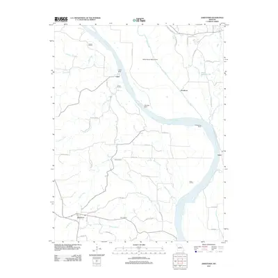
2012 Map of Jamestown
USGS Topo · Published 2012About this map
Missouri River oxbows and rural farmsteads define this portion of the Missouri valley, where the waterway creates significant landforms like Lupus Bend, Plow Boy Bend, and Providence Bend. The landscape is a network of small tributaries including Perche Creek, Factory Creek, and Splice Creek, which carve through the terrain toward the main river channel. Settlements such as Lupus, Providence, Easley, and Jamestown anchor the region, connected by a web of local roads named for early schools and families, such as Oakland School Rd and Star School Rd.
Find a feature on this map
56 named features on this map. Tap any name to fly to it.
Don’t see what you’re looking for? This feature index may not catch every label — zoom into the map to look around manually.
Map Details
Editions of this 2012 Jamestown Map
This is the sole edition of this map. No revisions or reprints were ever made.
Other maps of this area

1886 · Jefferson City
USGS Topo · 1:125,000

1888 · Boonville
USGS Topo · 1:125,000

1894 · Jefferson City
USGS Topo · 1:125,000

1935 · Columbia
USGS Topo · 1:24,000

1940 · Columbia
USGS Topo · 1:24,000

1947 · Jefferson City
USGS Topo · 1:250,000

1948 · Centertown
USGS Topo · 1:62,500
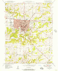
1948 · Columbia
USGS Topo · 1:24,000

1948 · Columbia
USGS Topo · 1:62,500
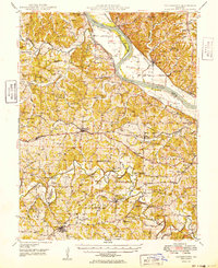
1949 · Centertown
USGS Topo · 1:62,500