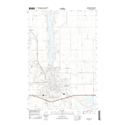
2014 Map of Jamestown
USGS Topo · Published 2014About this map
Jamestown is situated at the confluence of the James River and Pipestem Creek, serving as a central hub of activity in Stutsman County. The city's 2014 layout reflects its educational and cultural role, anchored by Jamestown Coll and the tourist-oriented Frontier Village on its southern edge. This period shows a landscape shaped by water management and transit, with the massive Jamestown Reservoir and Pipestem Lake dominating the northern terrain while the Jamestown Regional Airport supports the region's aerial connectivity.
Find a feature on this map
111 named features on this map. Tap any name to fly to it.
Don’t see what you’re looking for? This feature index may not catch every label — zoom into the map to look around manually.
Map Details
Editions of this 2014 Jamestown Map
This is the sole edition of this map. No revisions or reprints were ever made.
Other maps of this area

1896 · Jamestown
USGS Topo · 1:125,000

1900 · Pingree
USGS Topo · 1:125,000

1900 · Pingree
USGS Topo · 1:62,500

1950 · Buchanan
USGS Topo · 1:24,000

1950 · Fried
USGS Topo · 1:24,000

1951 · Jamestown
USGS Topo · 1:24,000

1951 · Fried
USGS Topo · 1:24,000

1951 · Spiritwood Lake
USGS Topo · 1:24,000

1951 · Eldridge SE
USGS Topo · 1:24,000

1952 · Buchanan
USGS Topo · 1:24,000