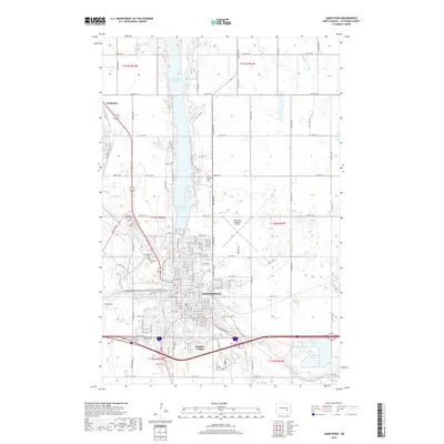
2018 Map of Jamestown
USGS Topo · Published 2018About this map
Jamestown serves as the focal point of this North Dakota landscape, situated at the confluence of the James River and Pipestem Creek. This 2018 survey documents a region defined by substantial water management projects, including the large Jamestown Reservoir and Pipestem Lake to the north. These reservoirs dictate the local geography, surrounded by recreational features like the Pipestem Creek Trail and Overlook Trail. For genealogists and local historians, the map identifies several significant burial grounds serving the community, such as Highland Home Cem, Jamestown Cem, and Calvary Cem. Near the southern edge of the city, Frontier Village stands as a notable cultural landmark. The grid-like expansion of the town is evident through the naming of numerous streets and avenues, while Jamestown Regional Airport and the rail corridors reflect the area's continued role as a regional transportation hub.
Find a feature on this map
43 named features on this map. Tap any name to fly to it.
Don’t see what you’re looking for? This feature index may not catch every label — zoom into the map to look around manually.
Map Details
Editions of this 2018 Jamestown Map
This is the sole edition of this map. No revisions or reprints were ever made.
Other maps of this area

1896 · Jamestown
USGS Topo · 1:125,000

1900 · Pingree
USGS Topo · 1:125,000

1900 · Pingree
USGS Topo · 1:62,500

1950 · Buchanan
USGS Topo · 1:24,000

1950 · Fried
USGS Topo · 1:24,000

1951 · Jamestown
USGS Topo · 1:24,000

1951 · Fried
USGS Topo · 1:24,000

1951 · Spiritwood Lake
USGS Topo · 1:24,000

1951 · Eldridge SE
USGS Topo · 1:24,000

1952 · Buchanan
USGS Topo · 1:24,000