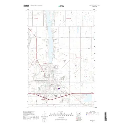
2020 Map of Jamestown
USGS Topo · Published 2020About this map
Jamestown serves as a central hub where the James River and Pipestem Creek converge, just south of the large Jamestown Reservoir. This 2020 survey reveals a city organized around its water-driven geography, featuring a complex network of recreational paths such as the Pipestem Creek Trail, N Ridge Trail, and the Split Rock Trail that wind through the river valleys. The southern edge of the city is anchored by Frontier Village, a destination that maintains a connection to the region's heritage near the major junction of Bus Loop E. Local history is preserved across several significant burial grounds, including Highland Home Cem, McGinnis Cem, and Calvary Cem. To the north, the small settlement of Parkhurst sits along the roadway, while the Jamestown Regional Airport occupies the high ground to the east, illustrating the modernization of transport in this Prairie landscape.
Find a feature on this map
33 named features on this map. Tap any name to fly to it.
Don’t see what you’re looking for? This feature index may not catch every label — zoom into the map to look around manually.
Map Details
Editions of this 2020 Jamestown Map
This is the sole edition of this map. No revisions or reprints were ever made.
Other maps of this area

1896 · Jamestown
USGS Topo · 1:125,000

1900 · Pingree
USGS Topo · 1:125,000

1900 · Pingree
USGS Topo · 1:62,500

1950 · Buchanan
USGS Topo · 1:24,000

1950 · Fried
USGS Topo · 1:24,000

1951 · Jamestown
USGS Topo · 1:24,000

1951 · Fried
USGS Topo · 1:24,000

1951 · Spiritwood Lake
USGS Topo · 1:24,000

1951 · Eldridge SE
USGS Topo · 1:24,000

1952 · Buchanan
USGS Topo · 1:24,000