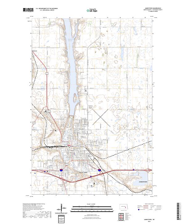
2024 Map of Jamestown
USGS Topo · Published 2024About this map
The James River and Pipestem Creek converge in this detailed modern survey of the Stutsman County seat. The landscape is defined by the significant north-south reach of the Jamestown Reservoir, which shapes the layout of nearby residential areas like Parkhurst and Sunset Gardens. The core of Jamestown is anchored by institutional landmarks, including the historic Stutsman County Courthouse and the University of Jamestown campus.
Find a feature on this map
30 named features on this map. Tap any name to fly to it.
Don’t see what you’re looking for? This feature index may not catch every label — zoom into the map to look around manually.
Map Details
Editions of this 2024 Jamestown Map
This is the sole edition of this map. No revisions or reprints were ever made.
Other maps of this area

1896 · Jamestown
USGS Topo · 1:125,000

1900 · Pingree
USGS Topo · 1:125,000

1900 · Pingree
USGS Topo · 1:62,500

1950 · Buchanan
USGS Topo · 1:24,000

1950 · Fried
USGS Topo · 1:24,000

1951 · Jamestown
USGS Topo · 1:24,000

1951 · Fried
USGS Topo · 1:24,000

1951 · Spiritwood Lake
USGS Topo · 1:24,000

1951 · Eldridge SE
USGS Topo · 1:24,000

1952 · Buchanan
USGS Topo · 1:24,000