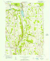
1955 Map of Jamesville
USGS Topo · Published 1956About this map
Jamesville Reservoir and its adjoining Jamesville Beach sit at the center of this mid-1950s survey, illustrating the mid-century intersection of infrastructure and public recreation in Onondaga County. The village of Jamesville serves as a hub, positioned near the County Penitentiary and several large Rock Quarries that mark the local industry. The landscape is defined by the steep relief of Smoky Hollow and various hills like Mason Hill and Torry Hill, with the Delaware Lackawanna and Western RR winding through the valley bottom. To the south, the settlement of La Fayette is anchored by its Central Sch, while the presence of scattered family-named burial grounds like Stebbins Cem and Bush Cem provides valuable points of interest for genealogists tracing the rural heritage of the De Witt and Pompey townships.
Find a feature on this map
59 named features on this map. Tap any name to fly to it.
Don’t see what you’re looking for? This feature index may not catch every label — zoom into the map to look around manually.
Map Details
Editions of this 1955 Jamesville Map
2 editions found
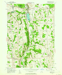
Other maps of this area

1895 · Chittenango
USGS Topo · 1:62,500

1895 · Syracuse
USGS Topo · 1:62,500

1897 · Cazenovia
USGS Topo · 1:62,500

1898 · Syracuse
USGS Topo · 1:62,500

1898 · Chittenango
USGS Topo · 1:62,500

1899 · Cazenovia
USGS Topo · 1:62,500

1900 · Tully
USGS Topo · 1:62,500

1902 · Chittenango
USGS Topo · 1:62,500

1938 · Syracuse East
USGS Topo · 1:24,000

1939 · Syracuse West
USGS Topo · 1:24,000