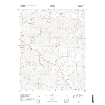
2017 Map of Jane
USGS Topo · Published 2017About this map
Big Sugar Creek and Little Sugar Creek carve a winding course through this portion of McDonald County, shaping a landscape defined by dramatic bluffs and named hollows. The settlement of Jane sits as a central crossroads, while the larger community of Pineville occupies the western edge near Wolf Pen Hollow. This area reflects a long history of river-dependent travel, evidenced by the numerous named crossings such as Meadors Ford, Griffin Ford, and Deep Ford.
Find a feature on this map
100 named features on this map. Tap any name to fly to it.
Don’t see what you’re looking for? This feature index may not catch every label — zoom into the map to look around manually.
Map Details
Editions of this 2017 Jane Map
This is the sole edition of this map. No revisions or reprints were ever made.
Other maps of this area

1899 · Fayetteville
USGS Topo · 1:125,000

1901 · Fayetteville
USGS Topo · 1:125,000

1904 · Fayetteville
USGS Topo · 1:125,000

1940 · Noel
USGS Topo · 1:62,500

1941 · Rocky Comfort
USGS Topo · 1:62,500

1943 · Noel
USGS Topo · 1:62,500

1943 · Rocky Comfort
USGS Topo · 1:62,500

1954 · Tulsa
USGS Topo · 1:250,000

1958 · Tulsa
USGS Topo · 1:250,000

1963 · Tulsa
USGS Topo · 1:250,000