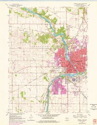
2022 Map of Janesville East
USGS Topo · Published 2022About this map
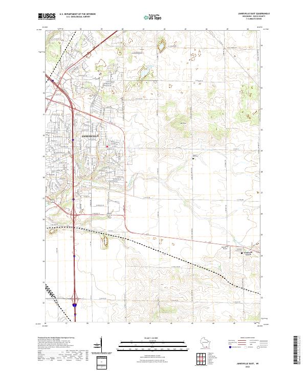
Janesville dominates the western portion of this 2022 survey, showing the continued expansion of its residential and commercial corridors east toward the rolling agricultural lands of Rock County. The city's growth is framed by major transport arteries like Milton Ave and Humes Rd, which transition from urban grid to open country. In the east, the settlement of Emerald Grove remains a distinct anchor, positioned near the Emerald Grove Cem and Hacklander Airport.
Find a feature on this map
176 named features on this map. Tap any name to fly to it.
Don’t see what you’re looking for? This feature index may not catch every label — zoom into the map to look around manually.
Map Details
Editions of this 2022 Janesville East Map
This is the sole edition of this map. No revisions or reprints were ever made.
Historical Maps of Janesville Through Time
14 maps found
1960 Lima Center
Rock County, WI
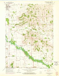
1961 Avalon
Rock County, WI
1961 Cooksville
Rock County, WI
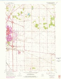
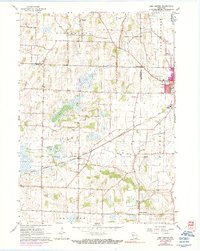
1961 Janesville East
Rock County, WI
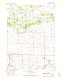
1961 Janesville West
Rock County, WI
1962 Brodhead East
Rock County, WI
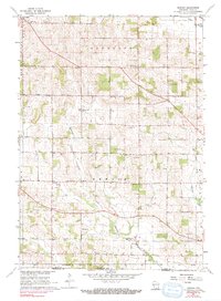
1962 Newark
Rock County, WI
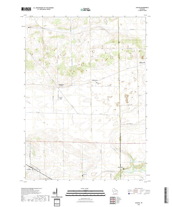
2022 Avalon
Rock County, WI
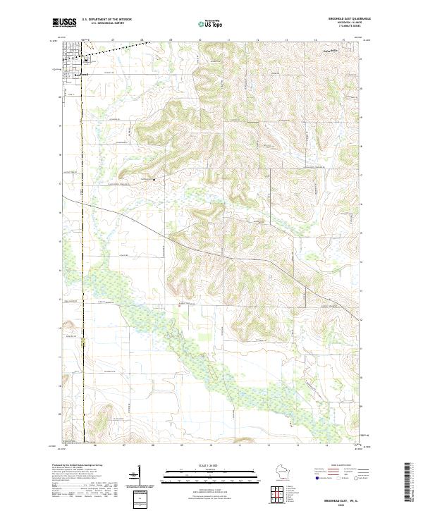
2022 Brodhead East
Rock County, WI
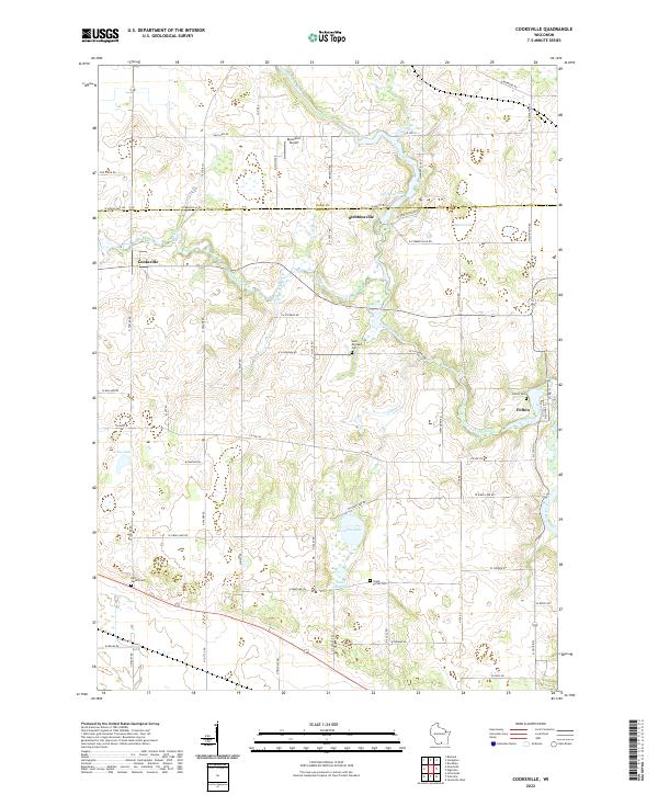
2022 Cooksville
Rock County, WI
2022 Janesville East
Rock County, WI
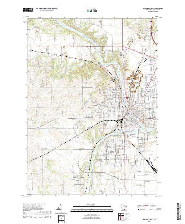
2022 Janesville West
Rock County, WI
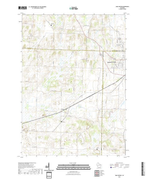
2022 Lima Center
Rock County, WI
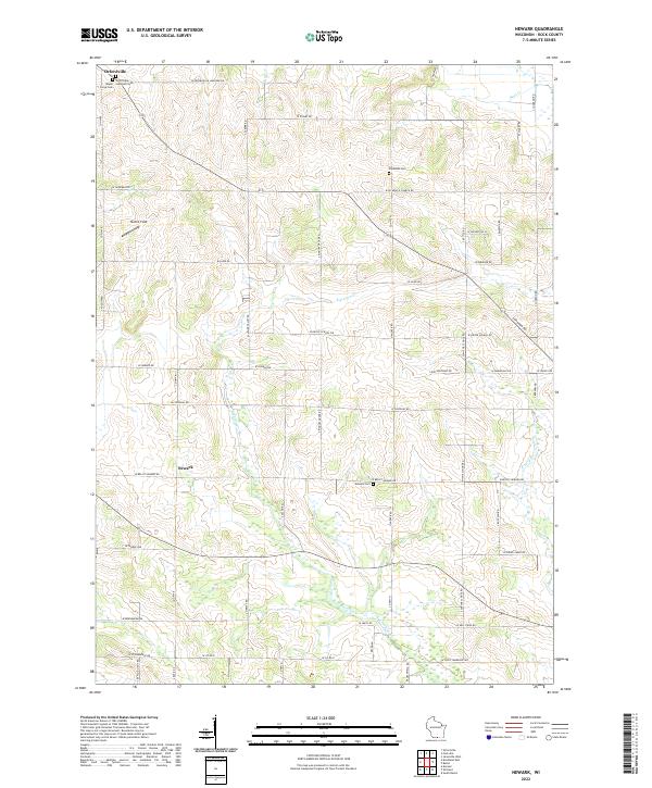
2022 Newark
Rock County, WI