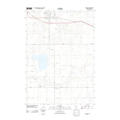
2013 Map of Janesville
USGS Topo · Published 2013About this map
Janesville anchors the northern portion of this South Central Minnesota landscape, situated along the corridor of Us-14 and Co Hwy-14. The town's grid is well-established, featuring its central Po and several local landmarks including Janesville Cem and Saint Anns Cem. To the south, the terrain becomes more rural, punctuated by the small settlement of Alma City and its corresponding Alma City Cem near the banks of the Le Sueur River. This waterway meanders across the southern half of the quadrangle, which is otherwise dominated by a systematic grid of agricultural roads. Notable landmarks for genealogists and local historians include the secluded Peddler's Grove Cem and Buffalo Lake, providing a clear record of the area's rural cemetery placements and natural water features during this early 21st-century period.
Find a feature on this map
44 named features on this map. Tap any name to fly to it.
Don’t see what you’re looking for? This feature index may not catch every label — zoom into the map to look around manually.
Map Details
Editions of this 2013 Janesville Map
This is the sole edition of this map. No revisions or reprints were ever made.
Other maps of this area

1950 · Mankato East
USGS Topo · 1:62,500

1951 · Mankato East
USGS Topo · 1:62,500

1953 · Saint Paul
USGS Topo · 1:250,000

1954 · Mason City
USGS Topo · 1:250,000

1957 · Mason City
USGS Topo · 1:250,000

1958 · Mason City
USGS Topo · 1:250,000

1959 · Saint Paul
USGS Topo · 1:250,000

1966 · Waseca
USGS Topo · 1:24,000

1966 · Janesville
USGS Topo · 1:24,000

1966 · Waterville
USGS Topo · 1:24,000