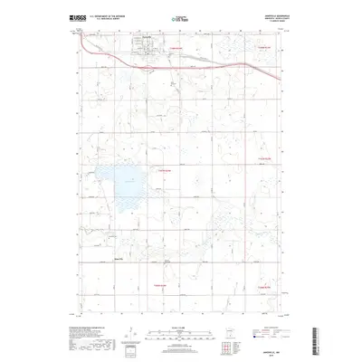
2019 Map of Janesville
USGS Topo · Published 2019About this map
Janesville serves as the primary hub in this portion of Waseca County, situated along the corridor of Old US Hwy 14. The town's grid is dense with residential streets such as W Grove St and W Allyn St, reflecting its established role in the region. To the south, the smaller settlement of Alma City sits near the winding course of the Le Sueur River, which carves through the agricultural landscape. The map reveals a high concentration of local history markers, particularly cemeteries like Janesville Cem, Saint Anns Cem, Alma-City Cem, and the uniquely named Peddler's Grove Cem. Large water bodies including Buffalo Lake and Helena Lake are prominent features, indicating a terrain defined by glacial depressions and wetlands common to this part of Minnesota.
Find a feature on this map
57 named features on this map. Tap any name to fly to it.
Don’t see what you’re looking for? This feature index may not catch every label — zoom into the map to look around manually.
Map Details
Editions of this 2019 Janesville Map
This is the sole edition of this map. No revisions or reprints were ever made.
Other maps of this area

1950 · Mankato East
USGS Topo · 1:62,500

1951 · Mankato East
USGS Topo · 1:62,500

1953 · Saint Paul
USGS Topo · 1:250,000

1954 · Mason City
USGS Topo · 1:250,000

1957 · Mason City
USGS Topo · 1:250,000

1958 · Mason City
USGS Topo · 1:250,000

1959 · Saint Paul
USGS Topo · 1:250,000

1966 · Waseca
USGS Topo · 1:24,000

1966 · Janesville
USGS Topo · 1:24,000

1966 · Waterville
USGS Topo · 1:24,000