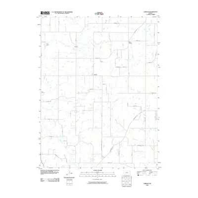
2009 Map of Jarbalo
USGS Topo · Published 2009About this map
Stranger Creek and its many tributaries, including Jarbalo Creek and Fall Creek, define the drainage patterns of this Leavenworth County landscape during the early 2000s. The settlement of Jarbalo serves as a central point in a grid of rural roads and section lines, while the community of Five Points sits further north along Jarbalo RD. The area maintains a distinctly rural character, punctuated by several established landing points and small lakes like Flinner Lake.
Find a feature on this map
60 named features on this map. Tap any name to fly to it.
Don’t see what you’re looking for? This feature index may not catch every label — zoom into the map to look around manually.
Map Details
Editions of this 2009 Jarbalo Map
This is the sole edition of this map. No revisions or reprints were ever made.
Other maps of this area

1886 · Oskaloosa
USGS Topo · 1:125,000

1888 · Oskaloosa
USGS Topo · 1:125,000

1890 · Kansas City
USGS Topo · 1:125,000

1894 · Kansas City
USGS Topo · 1:125,000

1894 · Oskaloosa
USGS Topo · 1:125,000

1910 · Leavenworth
USGS Topo · 1:62,500

1934 · Bonner Springs
USGS Topo · 1:48,000

1940 · Bonner Springs
USGS Topo · 1:62,500

1948 · Leavenworth
USGS Topo · 1:62,500

1948 · Jarbalo
USGS Topo · 1:24,000