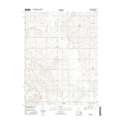
2015 Map of Jarbalo
USGS Topo · Published 2015About this map
The unincorporated community of Jarbalo serves as the central hub of this Leavenworth County landscape, situated at a junction where the waters of Stranger Cr and Jarbalo Cr define the local topography. This 2015 survey illustrates a rural settlement pattern deeply rooted in its geography, with the northern edge of Tonganoxie appearing along the southern margin. Notable for genealogists and local historians, the map identifies the Fall Creek Cem near Fall Cr and the Eagle Cem on the western boundary, preserving the locations of these local burial grounds.
Find a feature on this map
50 named features on this map. Tap any name to fly to it.
Don’t see what you’re looking for? This feature index may not catch every label — zoom into the map to look around manually.
Map Details
Editions of this 2015 Jarbalo Map
This is the sole edition of this map. No revisions or reprints were ever made.
Other maps of this area

1886 · Oskaloosa
USGS Topo · 1:125,000

1888 · Oskaloosa
USGS Topo · 1:125,000

1890 · Kansas City
USGS Topo · 1:125,000

1894 · Kansas City
USGS Topo · 1:125,000

1894 · Oskaloosa
USGS Topo · 1:125,000

1910 · Leavenworth
USGS Topo · 1:62,500

1934 · Bonner Springs
USGS Topo · 1:48,000

1940 · Bonner Springs
USGS Topo · 1:62,500

1948 · Leavenworth
USGS Topo · 1:62,500

1948 · Jarbalo
USGS Topo · 1:24,000