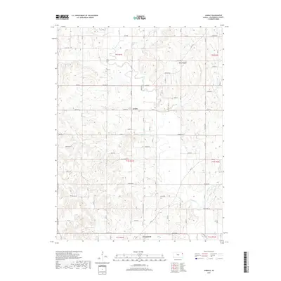
2018 Map of Jarbalo
USGS Topo · Published 2018About this map
Jarbalo serves as the central hub of this eastern Kansas landscape, situated where Jarbalo Cr and Stranger Cr drain toward the southern border near Tonganoxie. The terrain is defined by the winding course of Stranger Cr and its tributaries, including Little Stranger Cr and Fall Cr. For genealogists and local historians, the placement of Fall Creek Cem near Gilman Rd and Eagle Cem further south provides specific points of interest for family research. The settlement at Five Points and the network of section-line roads like McIntyre Rd and Donahoo Rd illustrate the enduring rural township structure of Leavenworth County. A system of levees, such as Levee 8 and Levee 19, indicates a history of managing the local waterways that define the valley's geography.
Find a feature on this map
43 named features on this map. Tap any name to fly to it.
Don’t see what you’re looking for? This feature index may not catch every label — zoom into the map to look around manually.
Map Details
Editions of this 2018 Jarbalo Map
This is the sole edition of this map. No revisions or reprints were ever made.
Other maps of this area

1886 · Oskaloosa
USGS Topo · 1:125,000

1888 · Oskaloosa
USGS Topo · 1:125,000

1890 · Kansas City
USGS Topo · 1:125,000

1894 · Kansas City
USGS Topo · 1:125,000

1894 · Oskaloosa
USGS Topo · 1:125,000

1910 · Leavenworth
USGS Topo · 1:62,500

1934 · Bonner Springs
USGS Topo · 1:48,000

1940 · Bonner Springs
USGS Topo · 1:62,500

1948 · Leavenworth
USGS Topo · 1:62,500

1948 · Jarbalo
USGS Topo · 1:24,000