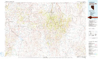
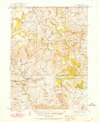
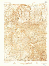
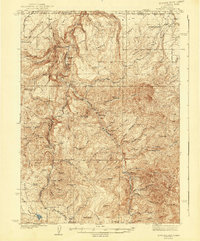
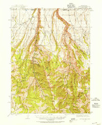
1981 Map of Jarbidge Mts
USGS Topo · Published 1991About this map
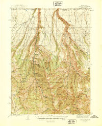
The high desert and alpine peaks of northeastern Nevada dominate this 1981 survey, where the Jarbidge Wilderness protects a dramatic skyline of peaks like Jarbidge Peak and Gods Pocket Peak. The landscape transitions from the arid Owyhee Desert and Diamond A Desert in the north to the heavily mineralized canyons that supported historic mining operations. The map highlights several remote outposts of Elko County history, including the copper mining area of Rio Tinto and the secluded town of Jarbidge.
Find a feature on this map
90 named features on this map. Tap any name to fly to it.
Don’t see what you’re looking for? This feature index may not catch every label — zoom into the map to look around manually.
Map Details
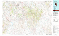
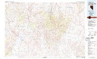
Editions of this 1981 Jarbidge Mts Map
3 editions found
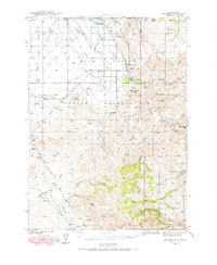
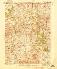
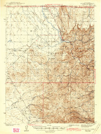
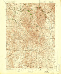
Other maps of this area
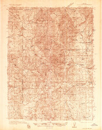
1935 · Charleston
USGS Topo · 1:48,000
1936 · Mountain City
USGS Topo · 1:62,500
1936 · Rowland
USGS Topo · 1:48,000
1939 · Owyhee
USGS Topo · 1:62,500
1940 · Rowland
USGS Topo · 1:62,500
1940 · Mountain City
USGS Topo · 1:62,500
1942 · Owyhee
USGS Topo · 1:62,500
1942 · Mt. Velma
USGS Topo · 1:62,500
1943 · Jarbidge
USGS Topo · 1:62,500
1945 · Jarbidge
USGS Topo · 1:62,500