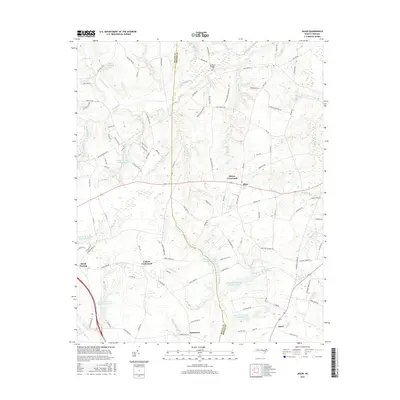
2016 Map of Jason
USGS Topo · Published 2016About this map
Shines Crossroads and Cokers Crossroads anchor the landscape along the Wayne and Greene county line in eastern North Carolina. This coastal plain region is defined by an intricate network of slow-moving water, where the Nahunta Swamp and Little Marsh River weave through agricultural fields and scattered residential clusters. The terrain is notably marked by the Bear Creek watershed projects, featuring numbered reservoirs such as Bear Cr W/S Lake Number Six and Bear Cr W/S Lake Number Eleven, which demonstrate mid-century water management efforts across the tobacco-growing heartland.
Find a feature on this map
120 named features on this map. Tap any name to fly to it.
Don’t see what you’re looking for? This feature index may not catch every label — zoom into the map to look around manually.
Map Details
Editions of this 2016 Jason Map
This is the sole edition of this map. No revisions or reprints were ever made.
Other maps of this area

1904 · Falkland
USGS Topo · 1:62,500

1904 · Wilson
USGS Topo · 1:62,500

1914 · Kinston
USGS Topo · 1:48,000

1916 · Kinston
USGS Topo · 1:62,500

1953 · Rocky Mount
USGS Topo · 1:250,000

1954 · Rocky Mount
USGS Topo · 1:250,000

1957 · Goldsboro
USGS Topo · 1:62,500
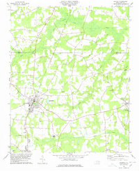
1978 · Fremont
USGS Topo · 1:24,000
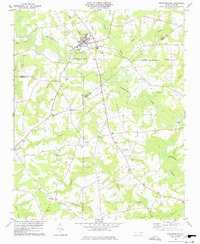
1978 · Stantonsburg
USGS Topo · 1:24,000
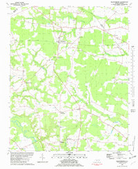
1981 · Walstonburg
USGS Topo · 1:24,000