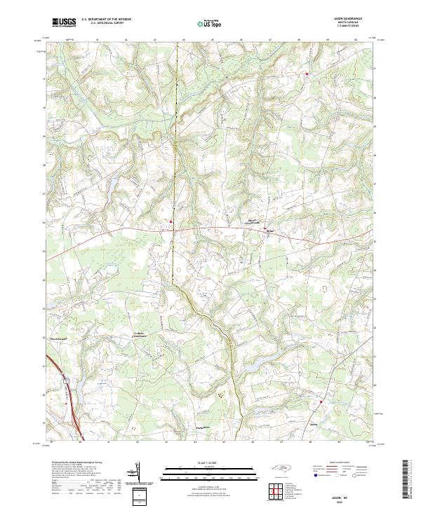
2022 Map of Jason
USGS Topo · Published 2022About this map
Nahunta Swamp and its many tributaries, including The Slough and Fort Run, dominate this section of the coastal plain. The landscape is defined by its low-lying hydrology, where water bodies like the Long Shoal River and Little Marsh River wind through a patchwork of agricultural lands and wooded wetlands such as Tyson Marsh. Small rural hubs are scattered throughout the region, often centered on historic intersections like Shines Crossroads and Cokers Crossroads.
Find a feature on this map
117 named features on this map. Tap any name to fly to it.
Don’t see what you’re looking for? This feature index may not catch every label — zoom into the map to look around manually.
Map Details
Editions of this 2022 Jason Map
This is the sole edition of this map. No revisions or reprints were ever made.
Other maps of this area

1904 · Falkland
USGS Topo · 1:62,500

1904 · Wilson
USGS Topo · 1:62,500

1914 · Kinston
USGS Topo · 1:48,000

1916 · Kinston
USGS Topo · 1:62,500

1953 · Rocky Mount
USGS Topo · 1:250,000

1954 · Rocky Mount
USGS Topo · 1:250,000

1957 · Goldsboro
USGS Topo · 1:62,500
1978 · Fremont
USGS Topo · 1:24,000
1978 · Stantonsburg
USGS Topo · 1:24,000
1981 · Walstonburg
USGS Topo · 1:24,000