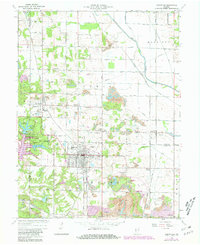
1963 Map of Jasonville
USGS Topo · Published 1981About this map
Jasonville and its surrounding coal-rich landscape are the focus of this mid-century survey, which reveals an era of significant industrial activity across the Sullivan Co Clay Co and Clay Co Greene Co borders. The landscape is heavily marked by numerous Strip Mines and the extensive Latta Yard rail infrastructure of the Chicago Milwaukee St Paul and Pacific railroad. This industrial footprint contrasts with the recreational development at Shakamak State Park, where Lake Shakamak and Lake Lenape serve as prominent water features.
Find a feature on this map
52 named features on this map. Tap any name to fly to it.
Don’t see what you’re looking for? This feature index may not catch every label — zoom into the map to look around manually.
Map Details
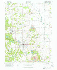
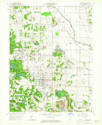
Editions of this 1963 Jasonville Map
5 editions found


Other maps of this area

1908 · Clay City
USGS Topo · 1:48,000

1910 · Clay City
USGS Topo · 1:62,500

1938 · Coal City
USGS Topo · 1:24,000

1938 · Switz City
USGS Topo · 1:24,000

1940 · Lewis
USGS Topo · 1:24,000

1940 · Linton
USGS Topo · 1:24,000

1940 · Jasonville
USGS Topo · 1:24,000

1943 · Hymera
USGS Topo · 1:24,000

1943 · Dugger
USGS Topo · 1:24,000

1947 · Switz City
USGS Topo · 1:24,000