
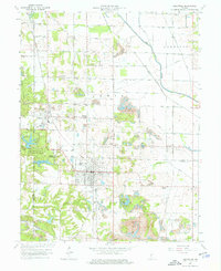
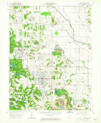
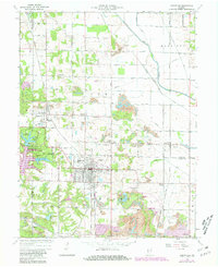
1963 Map of Jasonville
USGS Topo · Published 1987About this map
The city of Jasonville serves as the industrial and residential hub of this Western Indiana landscape, which reflects a complex history of resource extraction and transit. Extensive Strip Mine operations mark the terrain, while the historic Wabash and Erie Canal path and the Eel River channel the regional drainage. The map documents numerous local corners and small settlements like Coalmont and Gilmour, alongside specialized infrastructure including the Shakamak Airport and a Township High School.
Find a feature on this map
44 named features on this map. Tap any name to fly to it.
Don’t see what you’re looking for? This feature index may not catch every label — zoom into the map to look around manually.
Map Details
Editions of this 1963 Jasonville Map
5 editions found

Other maps of this area

1908 · Clay City
USGS Topo · 1:48,000

1910 · Clay City
USGS Topo · 1:62,500

1938 · Coal City
USGS Topo · 1:24,000

1938 · Switz City
USGS Topo · 1:24,000

1940 · Lewis
USGS Topo · 1:24,000

1940 · Linton
USGS Topo · 1:24,000

1940 · Jasonville
USGS Topo · 1:24,000

1943 · Hymera
USGS Topo · 1:24,000

1943 · Dugger
USGS Topo · 1:24,000

1947 · Switz City
USGS Topo · 1:24,000