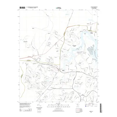
2014 Map of Jasper
USGS Topo · Published 2014About this map
The Okatee River dominates this coastal South Carolina landscape, carving out significant landmarks like Okatie Bluff and Manigault Neck. This 2014 survey captures the modern development and educational expansion in the Lowcountry, anchored by the Univ of South Carolina-Beaufort campus. The geography is defined by its relation to the water, with numerous landings including Cherry Point Landing, Baileys Landing, and Barrell Landing serving as local focal points.
Find a feature on this map
202 named features on this map. Tap any name to fly to it.
Don’t see what you’re looking for? This feature index may not catch every label — zoom into the map to look around manually.
Map Details
Editions of this 2014 Jasper Map
This is the sole edition of this map. No revisions or reprints were ever made.
Other maps of this area

1920 · Hardeeville
USGS Topo · 1:62,500

1920 · Okatie
USGS Topo · 1:62,500

1920 · Bluffton
USGS Topo · 1:62,500

1942 · Savannah
USGS Topo · 1:62,500

1942 · Okatie
USGS Topo · 1:62,500

1943 · Hardeeville
USGS Topo · 1:62,500

1945 · Bluffton
USGS Topo · 1:62,500

1947 · Savannah
USGS Topo · 1:250,000

1948 · Savannah
USGS Topo · 1:250,000

1953 · Hardeeville
USGS Topo · 1:62,500