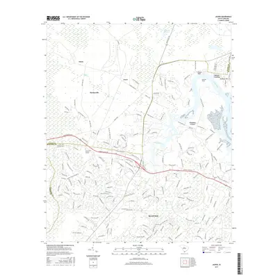
2017 Map of Jasper
USGS Topo · Published 2017About this map
The Okatie River and its surrounding wetlands form the heart of this Lowcountry landscape, where the tides push into Manigault Neck and Garrets Point. In this 2017 study, the expanding footprint of modern residential developments in Bluffton and Okatie is visible alongside established coastal settlements like Baileys Landing and Pinckney Colony. The terrain is defined by a series of expansive water features, from the Colleton River in the east to the dense interior of the Great Swamp and Whig Swamp.
Find a feature on this map
179 named features on this map. Tap any name to fly to it.
Don’t see what you’re looking for? This feature index may not catch every label — zoom into the map to look around manually.
Map Details
Editions of this 2017 Jasper Map
This is the sole edition of this map. No revisions or reprints were ever made.
Other maps of this area

1920 · Hardeeville
USGS Topo · 1:62,500

1920 · Okatie
USGS Topo · 1:62,500

1920 · Bluffton
USGS Topo · 1:62,500

1942 · Savannah
USGS Topo · 1:62,500

1942 · Okatie
USGS Topo · 1:62,500

1943 · Hardeeville
USGS Topo · 1:62,500

1945 · Bluffton
USGS Topo · 1:62,500

1947 · Savannah
USGS Topo · 1:250,000

1948 · Savannah
USGS Topo · 1:250,000

1953 · Hardeeville
USGS Topo · 1:62,500