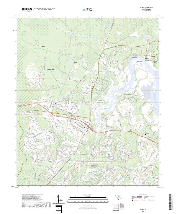
2024 Map of Jasper
USGS Topo · Published 2024About this map
The Okatie River and its intricate network of tidal creeks dominate this Lowcountry landscape, illustrating the modern growth occurring at the boundary of Jasper Co and Beaufort Co. Development patterns spread outward from settlements like Jasper and Okatie, showing a shift from traditional rural landing sites to contemporary academic and residential centers. The presence of the University of South Carolina Beaufort campus stands in contrast to older landmarks such as Jaxville Cem and established coastal points like Baileys Landing and Garrets Point. Significant marshlands and water bodies, including Whig Swamp and the Great Swamp, surround the rising infrastructure. This survey captures a moment where old family-named areas like Manigault Neck and Pinckney Colony are increasingly connected by a densifying network of roads and parkways.
Find a feature on this map
209 named features on this map. Tap any name to fly to it.
Don’t see what you’re looking for? This feature index may not catch every label — zoom into the map to look around manually.
Map Details
Editions of this 2024 Jasper Map
This is the sole edition of this map. No revisions or reprints were ever made.
Other maps of this area

1920 · Hardeeville
USGS Topo · 1:62,500

1920 · Okatie
USGS Topo · 1:62,500

1920 · Bluffton
USGS Topo · 1:62,500

1942 · Savannah
USGS Topo · 1:62,500

1942 · Okatie
USGS Topo · 1:62,500

1943 · Hardeeville
USGS Topo · 1:62,500

1945 · Bluffton
USGS Topo · 1:62,500

1947 · Savannah
USGS Topo · 1:250,000

1948 · Savannah
USGS Topo · 1:250,000

1953 · Hardeeville
USGS Topo · 1:62,500