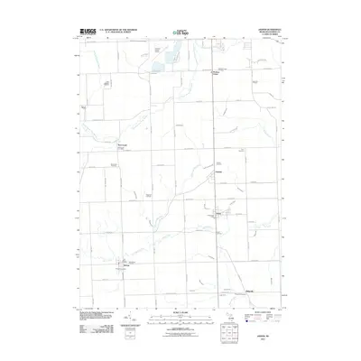
2011 Map of Jasper
USGS Topo · Published 2011About this map
The agricultural landscape of southern Lenawee County is defined by its extensive network of drainage infrastructure, including the South Branch River Raisin and numerous man-made channels like the Baker and May Drain and Mitchell Drain. This survey documents a cluster of traditional crossroads settlements such as Sand Creek, Fairfield, Jasper, and Weston, each retaining its central post office and nearby burial grounds. For family historians, the map provides precise locations for nearly a dozen distinct cemeteries, ranging from the County Poor House Cemetery in the north to the Ridgeville Cemetery at the southern edge. The northern portion of the sheet shows a more modernized landscape near the Lenawee County Airport, while the southern reaches near the border are characterized by the winding path of Black Creek and established farmsteads along the Sand Creek Hwy.
Find a feature on this map
81 named features on this map. Tap any name to fly to it.
Don’t see what you’re looking for? This feature index may not catch every label — zoom into the map to look around manually.
Map Details
Editions of this 2011 Jasper Map
This is the sole edition of this map. No revisions or reprints were ever made.
Other maps of this area

1911 · Wauseon
USGS Topo · 1:62,500

1911 · Swanton
USGS Topo · 1:62,500

1913 · Wauseon
USGS Topo · 1:62,500

1914 · Swanton
USGS Topo · 1:62,500

1939 · Blissfield
USGS Topo · 1:62,500

1941 · Blissfield
USGS Topo · 1:62,500

1943 · Wauseon
USGS Topo · 1:62,500

1953 · Fort Wayne
USGS Topo · 1:250,000

1956 · Fort Wayne
USGS Topo · 1:250,000

1956 · Toledo
USGS Topo · 1:250,000