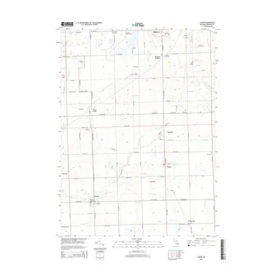
2014 Map of Jasper
USGS Topo · Published 2014About this map
The S Br River Raisin meanders through the heart of this Lenawee County landscape, carving a valley that defines the rural character between Adrian and the southern Michigan border. This 2014 survey reveals an area defined by its agricultural heritage and small village centers, including Jasper, Weston, and Fairfield. A significant concentration of burial sites, such as the County Poor House Cem, Hagaman Cem, and the unique Reed Grave, provides a rich resource for genealogists tracing early families. The proximity of the Lenawee County Airport to Madison Center illustrates the ongoing modernization of this traditional farming region, while numerous intricate water systems like the Baker and May Drain and Big Meadow Drain show the intensive engineering required to manage the local watershed.
Find a feature on this map
88 named features on this map. Tap any name to fly to it.
Don’t see what you’re looking for? This feature index may not catch every label — zoom into the map to look around manually.
Map Details
Editions of this 2014 Jasper Map
This is the sole edition of this map. No revisions or reprints were ever made.
Other maps of this area

1911 · Wauseon
USGS Topo · 1:62,500

1911 · Swanton
USGS Topo · 1:62,500

1913 · Wauseon
USGS Topo · 1:62,500

1914 · Swanton
USGS Topo · 1:62,500

1939 · Blissfield
USGS Topo · 1:62,500

1941 · Blissfield
USGS Topo · 1:62,500

1943 · Wauseon
USGS Topo · 1:62,500

1953 · Fort Wayne
USGS Topo · 1:250,000

1956 · Fort Wayne
USGS Topo · 1:250,000

1956 · Toledo
USGS Topo · 1:250,000